Campus Maps & Navigation
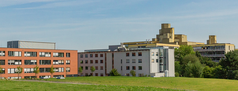
TU Dortmund University is home to numerous buildings and facilities on its campus. The interactive map and site plans will help you find your way around.
Interactive Map
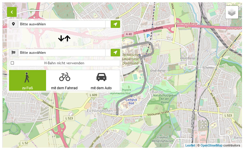
Where is the SRG I building located, how do I get from North Campus to South Campus and where is the nearest learning location? The interactive map helps with these questions: it offers the option of searching for specific locations as well as filtering by location category.
The route planner can be used to display possible routes on foot, by bike and by car. Map sections can also be exported to other map services.
Site Plans
Off-campus Locations
Downtown
Westenhellweg 127
44137 Dortmund

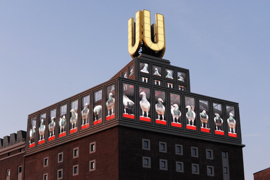
Social Research Center Dortmund:
Evinger Platz 17
44339 Dortmund
Area Allowances / Corporate Center Central Services:
Evinger Platz 15-17
44339 Dortmund

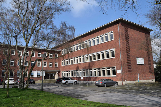
Downtown
Hansaplatz 1
44137 Dortmund


![[Translate to English:] Partner Four hands are holding the green logo of TU Dortmund University](/storages/tu_website/_processed_/1/d/csm_Partner_Nicole_Rechmann_KW_670eba0154.jpg)


![[Translate to English:] Forschung An apparatus with tubes in a laboratory](/storages/tu_website/_processed_/0/c/csm_Forschung_Juergen_Huhn_4fa3153b51.jpg)
![[Translate to English:] Studium Five students are sitting in a lecture hall. They are talking to each other.](/storages/tu_website/_processed_/c/9/csm_Studium_FelixSchmale_dbdbfb0dd7.jpg)
